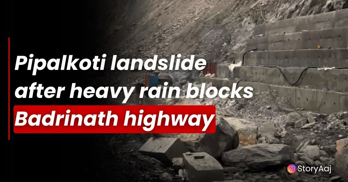
A powerful monsoon rain unleashed a major landslide at Bhanerpani near Pipalkoti, blocking the Badrinath National Highway and halting traffic in both directions.
The sudden debris flow in Pipalkoti comprising soil, rocks, and boulders, completely engulfed the road leaving hundreds of Char Dham pilgrims marooned as rescue and clearance operations began before dawn. This incident marks another chapter in the ongoing struggle between sacred pilgrimage and the formidable forces of nature that define the monsoon season.
Continuous rains in Pipalkoti overwhelmed the steep slopes above the highway, creating conditions ripe for disaster. Chamoli district recorded a peak rainfall of 93.6 mm, while adjacent tehsils Narainbagar (Gairsain,) and Karnaprayag saw accumulations above 20 mm each. The monsoon’s arrival in Uttarakhand, which began on June 20-21 as predicted by the India Meteorological Department, brought with it the familiar specter of landslides and flash floods that have plagued the region for generations.
At around midnight, eyewitnesses in Pipalkoti reported a thunderous roar as a wall of earth and stone tumbled onto the carriageway at the Bhanerpani break in Pipalkoti, known locally as Bhanir Pani. The landslide in Pipalkoti created a debris field several meters deep, transforming the vital arterial road into an impassable obstacle course of boulders and saturated soil. The timing proved particularly devastating, as it occurred during peak pilgrimage season when thousands of devotees make their way to the sacred shrines of Badrinath and Hemkund Sahib.
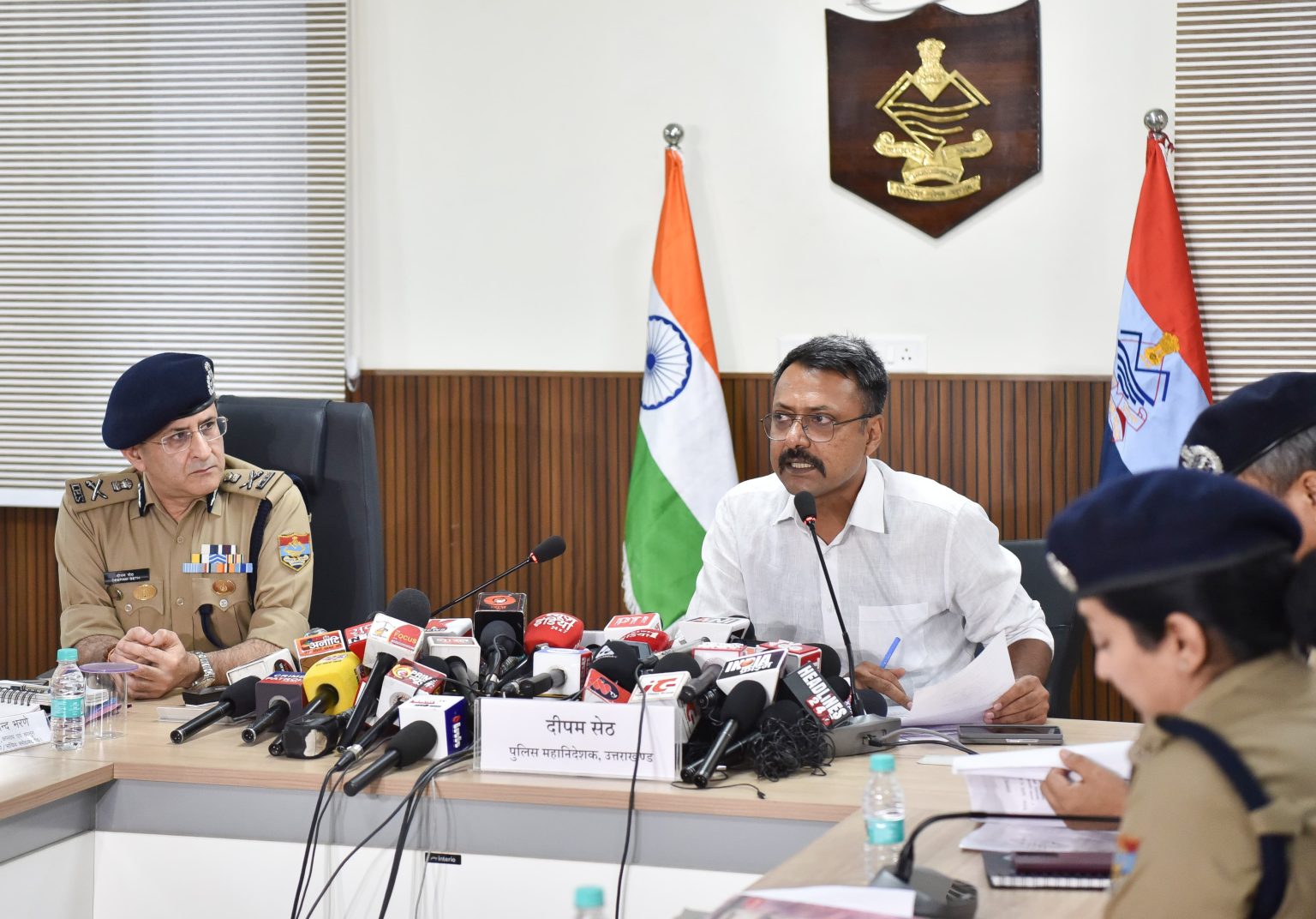
Local authorities swiftly deployed teams from the National Highways & Infrastructure Development Corporation Limited (NHIDCL), the Border Roads Organisation (BRO), and district road crews armed with bulldozers and excavators. The NHIDCL, established in 2014 as a specialized agency for high-altitude areas and border regions, took charge of the clearance operations with their expertise in managing challenging terrain. The organization, which maintains over 10,000 km of National Highways across India’s mountainous regions, has particular experience in dealing with landslide-prone areas in Uttarakhand.
Despite continuous rockfall and saturated slopes in Pipalkoti, clearance work commenced at 7 am under strict safety supervision. Officials cautioned that persistent drips and shifting debris heightened the risk of secondary slides, slowing progress considerably. The Border Roads Organisation, with its motto “Shramena Sarvam Sadhyam” (everything is achievable through hardwork), deployed specialized equipment designed for rapid debris clearance in mountainous terrain. Having constructed over 55,000 kilometers of roads and 450 permanent bridges in strategic locations, the BRO brought crucial expertise to the operation.
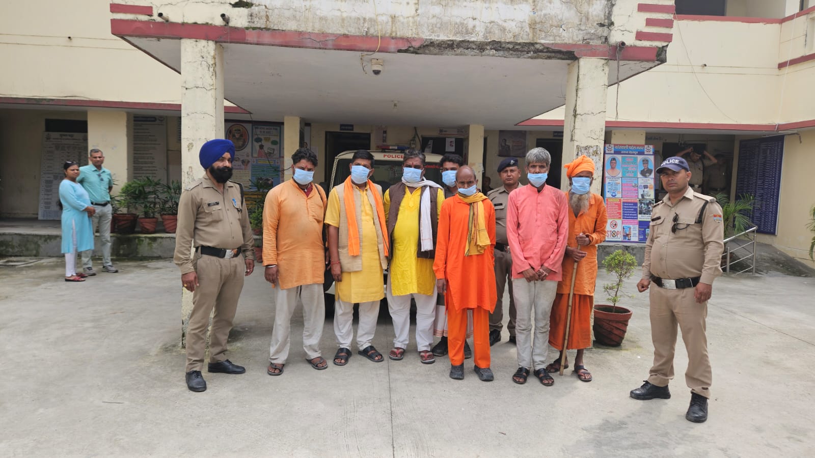
Pilgrims bound for Badrinath Dham and Hemkund Sahib faced agonizing uncertainty as the blockade in Pipalkoti stretched into its second day. The Char Dham Yatra, which welcomed over 30 lakh pilgrims in 2024 alone, represents one of India’s most significant religious pilgrimages. With Badrinath recording 14.35 lakh visitors and an even greater footfall anticipated in 2025, the timing of this disruption could not have been worse.
Some pilgrims opted to retrace their routes, forfeiting long-planned journeys that many had prepared for months in advance. Others waited roadside for updates from Chamoli Police, which issued advisories urging travelers to defer non-essential trips on this stretch until the highway is declared secure. The mandatory registration system implemented since 2014, which requires all pilgrims to complete biometric registration either online or at designated centers, helped authorities track the number of affected travelers.
Emergency teams circulated basic provisions in Pipalkoti and nearby areas – drinking water, food packets, warm blankets, and medicines to alleviate immediate hardships. The distribution of emergency supplies followed established protocols for disaster response, with mobile distribution teams moving through affected areas to ensure no stranded pilgrim was left without basic necessities. The State Disaster Response Force (SDRF) Uttarakhand, formed in 2014 following the devastating 2013 Kedarnath floods, coordinated much of the relief effort.
This blockage of Pipalkoti underscores the perennial vulnerability of Himalayan roads during the monsoon season, when three-quarters of annual rainfall arrives between June and September. The Bhanerpani–Pipalkoti corridor experiences landslide disruptions annually, a challenge compounded by increasing rainfall intensity due to climate change. Recent studies indicate that climate change is making cloudbursts and heavy rainfall more intense and frequent in the Himalayan foothills, causing slopes to become saturated more frequently and thus unstable.
Chamoli district’s unique topography, with its wide variation in elevation and climate patterns, makes it particularly susceptible to monsoon-related disasters. The district experiences four distinct seasons, with the monsoon period from mid-June to mid-September being the wettest, receiving 70-80% of annual rainfall. The uneven distribution of rainfall across the district, with differences based on altitude, valley situations, and slope aspects, creates hotspots of vulnerability where landslides are most likely to occur.
The 2023 monsoon season, though officially classified as “normal” with 103% of long-period average rainfall, actually displayed highly irregular patterns that contributed to increased landslide risk. Experts noted that the geologically young Himalayan range is not built for heavy rainfall, and the increasing intensity of both heat and rain in the mountains represents a clear effect of climate change.
The incident highlights the ongoing infrastructure challenges facing Uttarakhand’s mountain highways. The NHIDCL’s mandate extends beyond simple road maintenance to include building resilience against natural disasters. Recent examples, such as the organization’s takeover of the landslide-prone NH10 stretch between Sevoke and Rangpo, demonstrate the specialized approach required for maintaining highways in mountainous terrain.
In parallel, the swollen Alaknanda, Pindar, and Nandakini rivers neared critical levels, prompting flood alerts and reinforcing concerns for the broader Char Dham Yatra network. The State Emergency Operation Centre (SEOC) of Uttarakhand State Disaster Management Authority regularly monitors water levels and issues warnings when dams release excess water, as seen in recent incidents where thousands of cumecs of water discharged from upstream dams created flood threats in downstream areas.
The response to the Bhanerpani Pipalkoti landslide showcased Uttarakhand’s evolved disaster management capabilities, developed in the aftermath of the 2013 Kedarnath tragedy. The State Disaster Response Force, with its specialized training in Medical First Responder (MRF), Collapse Structure Search and Rescue (CSSR), rope rescue, and flood rescue techniques, represents a significant advancement in the state’s preparedness.
Operating from 19 strategic locations along the Char Dham route, SDRF units with 13 to 17 personnel each are positioned to respond rapidly to emergencies. The force’s success in recent rescue operations, including the evacuation of over 11,775 people during the 2024 Kedarnath rescue operations using Indian Air Force Chinook and MI17 helicopters, demonstrates the effectiveness of coordinated disaster response.
The integration of multiple agencies—NHIDCL for road clearance, BRO for specialized engineering support, SDRF for rescue operations, and the Indian Air Force for aerial evacuation represents a comprehensive approach to disaster management that has evolved significantly since the devastating 2013 floods.
Mobile Medical Units (MMUs) deployed at key locations provide medical support on the go, while base hospitals in towns like Guptkashi, Uttarkashi, and Joshimath offer more serious medical attention. Air ambulance services stand ready to airlift patients to advanced medical centers in Dehradun or other major cities when critical emergencies arise. The 24×7 helpline numbers provided to each pilgrim ensure immediate access to health support, transportation assistance, and disaster response coordination.
Authorities continue round-the-clock efforts to restore connectivity, with estimates suggesting that full clearance may take another 12–24 hours, contingent on weather conditions. The experience gained from this incident will undoubtedly inform future preparedness measures, particularly as climate change continues to intensify the frequency and severity of extreme weather events in the Himalayas.
Travelers are advised to monitor real-time updates via Chamoli Police social media channels and consider alternate routes through Rudraprayag–Kedarnath or Simli–Tharali–Gwaldam if cancellations endure. The Pipalkoti area, located just 80 kilometers before Badrinath Temple and commonly used as a night halt by pilgrims, remains a critical chokepoint in the Char Dham circuit.
The incident of Pipalkoti underscores the need for continued investment in both infrastructure resilience and disaster response capabilities, as the millions of pilgrims who undertake the Char Dham Yatra each year depend on these lifelines to reach their spiritual destinations safely. Until the highway reopens, the monsoon-stricken slopes of Chamoli remind us of the eternal dance between human aspiration and natural force that defines life in the mountains.
Follow us on Instagram – StoryAaj
Also Read : Violent Dhulkot Car crash near Daat Kali Temple results in 1 fatality